
Walk a Homer Glen Street
A reliable street directory search moves from place to record, then back to place. Start with the exact street number and name. County assessment data can identify a parcel and assessed owner, while the map confirms that the address point and parcel sit where expected. The deed index then supplies recorded parties and transfer dates. Voter data is much more limited and is not a public block roster. Old phone or regional directories can add a household clue for a past year, but only where their geographic coverage reaches Homer Glen.
- Enter the number and street name in the Will County address search. Save the address as shown and its PIN.
- Open the county GIS viewer, find the PIN or address, and use Identify to confirm the parcel, municipal layer, and nearby street geometry.
- Search the Recorder by number, street name without its suffix, and city. Compare the deed parties, legal description, and PIN.
- Use the Will County voter lookup only for a person-specific, lawful check with the required identity fields. Do not try to assemble a street roster.
- For an earlier year, bracket the date with regional directories, phonebooks, newspapers, and the next recorded deed.
This sequence separates ownership, physical location, and evidence of a household. It also creates a record trail that can be checked again when a portal changes. Save the source link, search date, exact address text, PIN, and any deed number at each stage. If two systems disagree, note the conflict instead of choosing the more convenient result. Call the township assessor about assessment fields, the GIS Division about map layers, and the Recorder about an index or copy. That office-by-office check is slower than copying a name from one screen, but it produces a street result that another researcher can reproduce.
Homer Glen Address Search Fields
The Supervisor of Assessments Property Search Portal offers several ways into the Homer Glen street directory. Address mode accepts partial terms, which helps when the exact spelling is unknown. PIN mode is the stronger bridge once a parcel has been identified. Owner, sale, subdivision, and property-class modes can resolve a result that is too broad. County data originates with township assessors, so questions about a card or correction should go to the Homer Township Assessor.
| Portal choice | Input | Required | How it helps |
|---|---|---|---|
| Property Address | Street number, street name, optional city/town | No individual field | Number-only and name-only terms can return partial matches |
| PIN / Parcel ID | Full or partial six-segment PIN | No | Dashes are optional and a partial PIN matches from the start |
| Owner Name | Indexed owner name | No | Finds assessment ownership, not proof of residence |
| Sale Date / Amount | Date and amount criteria | No | Narrows a transfer window |
| Subdivision / Class | Dynamic portal choice | No | Provides another route when address format fails |
The public address form exposes no ZIP field. Use the parcel address and PIN first, then validate the postal line separately. The township office is at 14350 W. 151st Street and takes calls at 708-301-8166, with Friday visits by appointment.
The official address-search screen shows how the county expects street terms to be entered.
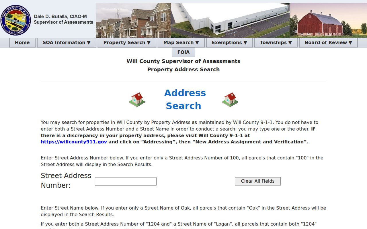
The screen is the first step, while a live result and the township assessor remain the sources for current card details.
Map Homer Glen Street Parcels
The Will County GIS Data Viewer turns a single address result into a by-street view. Switch on parcels, address points, streets, and municipal limits. Search the address or PIN, click Identify on the subject polygon, then pan along the street. Buffer can define a measured area, while print and image export preserve the view with a date. The viewer also provides labels, measurement tools, map themes, coordinates, geocoding, and street-view links.
Layer dates do not all match. Parcels are labeled Summer 2026, address points and streets update weekly, and municipal limits are dated March 2026. Zoning updates monthly. A GIS line is a working map feature, not a certified survey, deed, or plat. Save the layer date and follow the PIN back to assessment and recorder records before stating who owns the land.
Note: Public roads, drainage corridors, schools, and other public parcels may interrupt what looks like a line of private lots.
Homer Glen Records by Street
No single Homer Glen street directory contains every person at every address. Instead, address-keyed systems overlap. Property and GIS records locate the parcel. The Recorder documents transfers and legal descriptions. Village records may date construction or site work. Voter access is person-specific and restricted. Regional directories give period clues, with uneven coverage before the village existed.
| Address source | Public keeper | Useful street evidence | Available route |
|---|---|---|---|
| Assessment roll | Will County SOA and Homer Township Assessor | Situs address, PIN, assessed owner, sale search | Portal, township counter, phone, county FOIA |
| GIS parcel map | Will County GIS Division | Address points, parcel shape, streets, districts | Viewer, GIS phone or email, custom request |
| Recorded instruments | Will County Recorder | Parties, date, instrument, legal description, plat links | Direct Search, paid services, archive counter, microfilm, mail or fax copy request |
| Village permits | Village Clerk and Building Department | Permit date, site, work, inspections, retained plats | Document Center, department request, Illinois FOIA |
| Voter information | Will County Clerk | Person-specific registration or ballot relationship | Required-field lookup, clerk counter, phone, permitted inspection |
| Regional directories | Joliet and Plainfield libraries | Dated names, addresses, phones, household clues | Reading room, databases, librarian request |
The access channels matter. A web miss may require the township counter, Recorder microfilm, a mailed copy request, a library visit, or a focused public-records request. It does not erase the underlying record.
Search Homer Glen Deeds by Address
The Will County Recorder separates Name, PIN, Address, and Book/Page searches. In address mode, enter the street number, street name without St, Dr, or Ave, and the city. Try both 151st and 151 when ordinal formatting causes a miss. Once a result appears, record its document number, recording date, instrument type, grantor, grantee, PIN, legal description, and image status. Search by PIN and both party names because a postal address is not the legal description.
The free Direct Search generally reaches 1965 forward. Earlier deeds, books, plats, maps, and microfilm are at the Recorder archives at 158 N. Scott Street in Joliet. Staff can help begin a search, though they do not conduct a complex title examination. Copy requests can be made at the office or by mail and fax when enough identifying detail is supplied.
The Tapestry screen demonstrates the separate party, document, subdivision, parcel, tract, and book/page paths described by the Recorder.
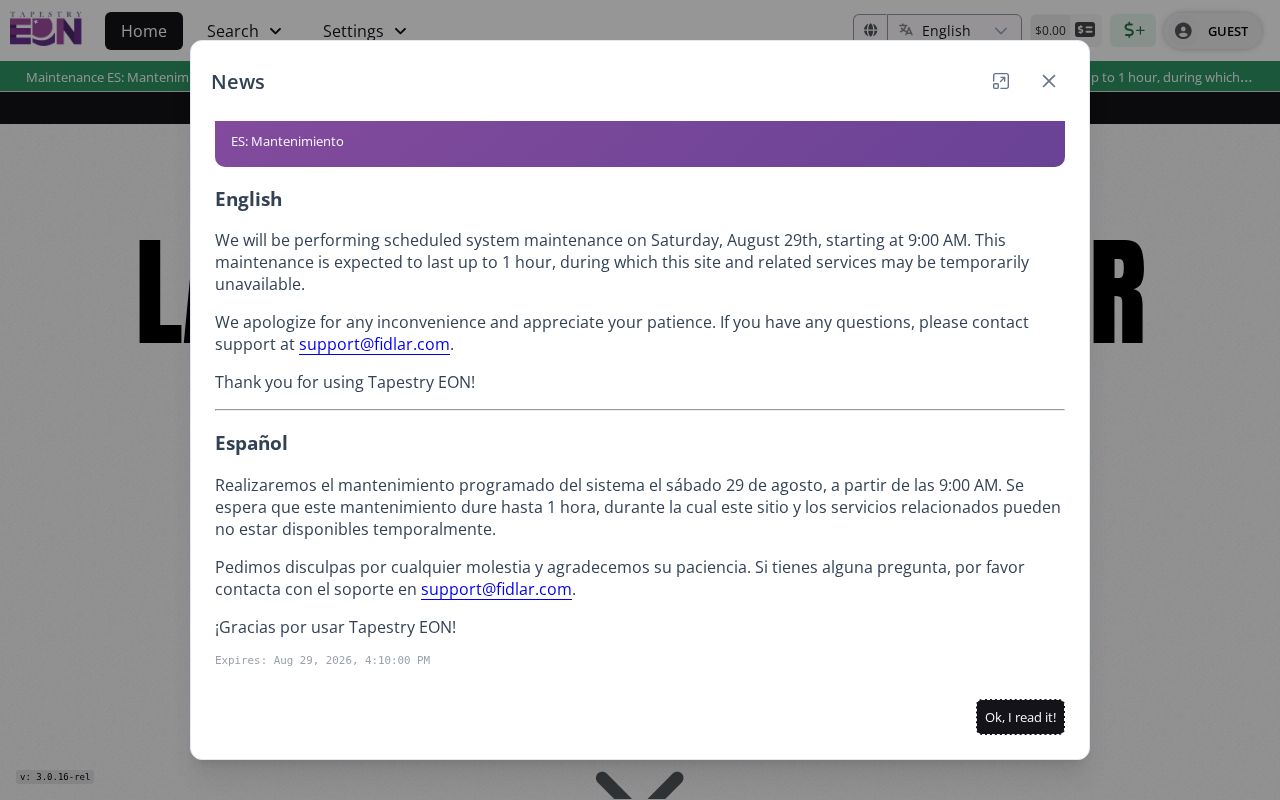
Its broader paid workflow is useful when the free direct index is not enough, but archive access remains essential before the online cutoff.
PINs Stabilize Homer Glen Searches
A PIN ties a street directory result to a parcel and legal description when spelling or postal labels shift. The assessor accepts a full or partial PIN without requiring dashes. Recorder syntax differs: it calls for dashes and recommends omitting the last four zeros. Parcel splits can create a new PIN, so the current number is not permanent. Follow the legal description, subdivision, lot, block, book/page, and prior instrument references when the number changes.
- Parcel
- A mapped unit of land linked to a tax identifier and legal description.
- Situs address
- The physical location of the parcel, which may differ from the owner's tax mailing address.
- Plat
- A recorded survey drawing that identifies lots, streets, easements, or a subdivision.
- Criss-cross directory
- A directory arranged by address or phone rather than only by a person's surname.
The PIN search screen is a useful second path after the address form.
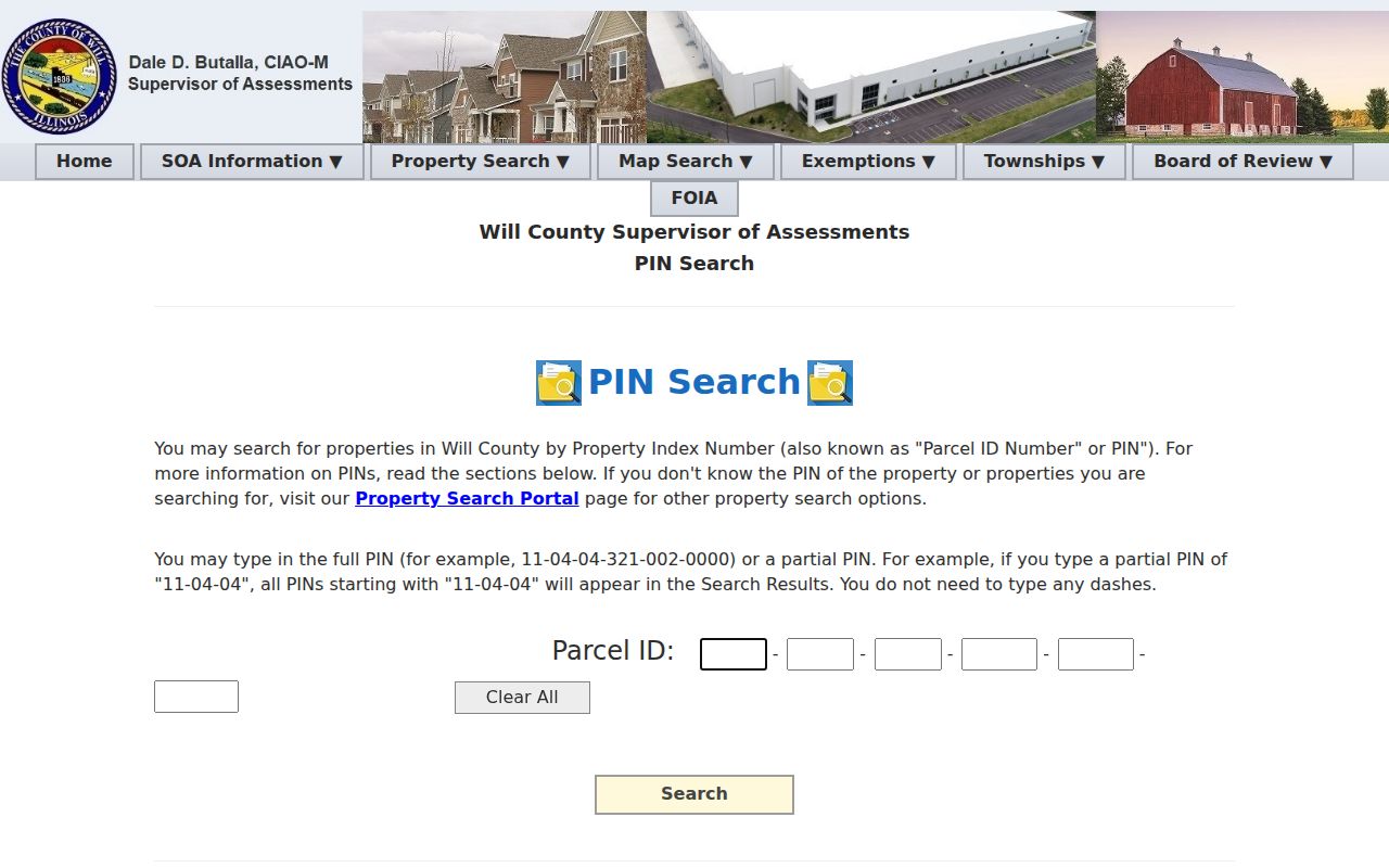
Save the exact PIN shown by the portal, then note any older PIN found in a deed or tax record.
Old Labels on Homer Glen Streets
Homer Glen incorporated in 2001, so older records may use Homer Township, a rural route, or a nearby postal city. The 2003 to 2004 ZIP transition moved many 60441 addresses to 60491, while some addresses retained Orland Park, Mokena, or Lemont postal labels. Search each label that fits the period. Then use the legal description and parcel map to decide whether two address forms point to the same land.
This is a key geographic caution for a Homer Glen street directory. USPS postal city, village boundary, township, county line, assessment situs, tax mailing address, and election precinct are separate fields. A nearby mailing address can even fall in Cook County. Preserve the address exactly as found before standardizing it.
Note: A ZIP change can alter the postal line without moving the parcel or changing its deed description.
Homer Glen Permits by Address
The Village does not provide a unified parcel-level permit search in the reviewed official sources. Use the Document Center first, then ask the Building Department or Village Clerk for address-specific records. A focused Illinois Freedom of Information Act request can seek a permit number, issue date, site address, work description, valuation, applicant or contractor named in the public file, inspection dates, certificates, violations, liens, and retained plats. Ask about retention and redaction before assuming every field survives.
Permit evidence dates work on a place. It does not establish every person who lived there. Road agreements, annexation maps, ordinances, and utility project notices can also explain why an address appears in one municipal system but not another.
Historic Homer Glen Streets
Regional directories can turn an old address into a dated household lead. Joliet Public Library holds Will County directories for 1859 to 1860 and 1872 to 1873, Joliet directories from 1875 forward, and telephone directories from 1908. Plainfield's repository lists phonebooks from 1924 through 1956. Their coverage is regional and may be indirect for land that later became Homer Glen.
Search the year before and after a deed transfer. A name at the address in both volumes supports continuity, but an omission does not prove vacancy. The person could have used another postal city, fallen outside the delivery area, kept an unlisted number, or appeared under another surname. The collections and how to read their entries are treated in the Homer Glen city directories resource.
Limits of Homer Glen Street Records
A street directory cannot show every occupant, guest, family member, or mail recipient. An assessed owner may live elsewhere. A voter result is tied to a person-specific form and is subject to Illinois restrictions. Utility customer lists are not a general public substitute. A map boundary cannot settle the position of a fence, shared drive, unit line, or old lot. Read the deed and legal description, and obtain a survey when the line itself matters.
Use careful verbs. A record may list, map, index, or corroborate a name. It rarely proves that a person lives at the address today. Date each result and confirm important details with the office that keeps the record.
Lawful use. Use Homer Glen address records for personal research, property history, or civic questions. Never use them to stalk, harass, intimidate, or locate a protected person.